Winter Hike to Araburg
Winterrundwanderung zur Araburg
Tour Starting from Kaumberg, Market Square
Explore the wintry landscape to Araburg Castle
- Starting point of the tour
- Kaumberg, Market Square
- Tour destination
- Kaumberg, Market Square
- Lowest point
- 476 m
- Highest point
- 791 m
Explore the wintry landscape to Araburg Castle
Araburg is located in the municipality of Kaumberg and is the westernmost municipality in Triestingtal, just before Gerichtsberg, the watershed between Triestingtal and Gölsental. The difference between the rolling hills of the Vienna Woods and the foothills of the Alps is clearly evident here. Shorter hikes through hilly cultural landscapes are possible to the north and east of the village of Kaumberg.
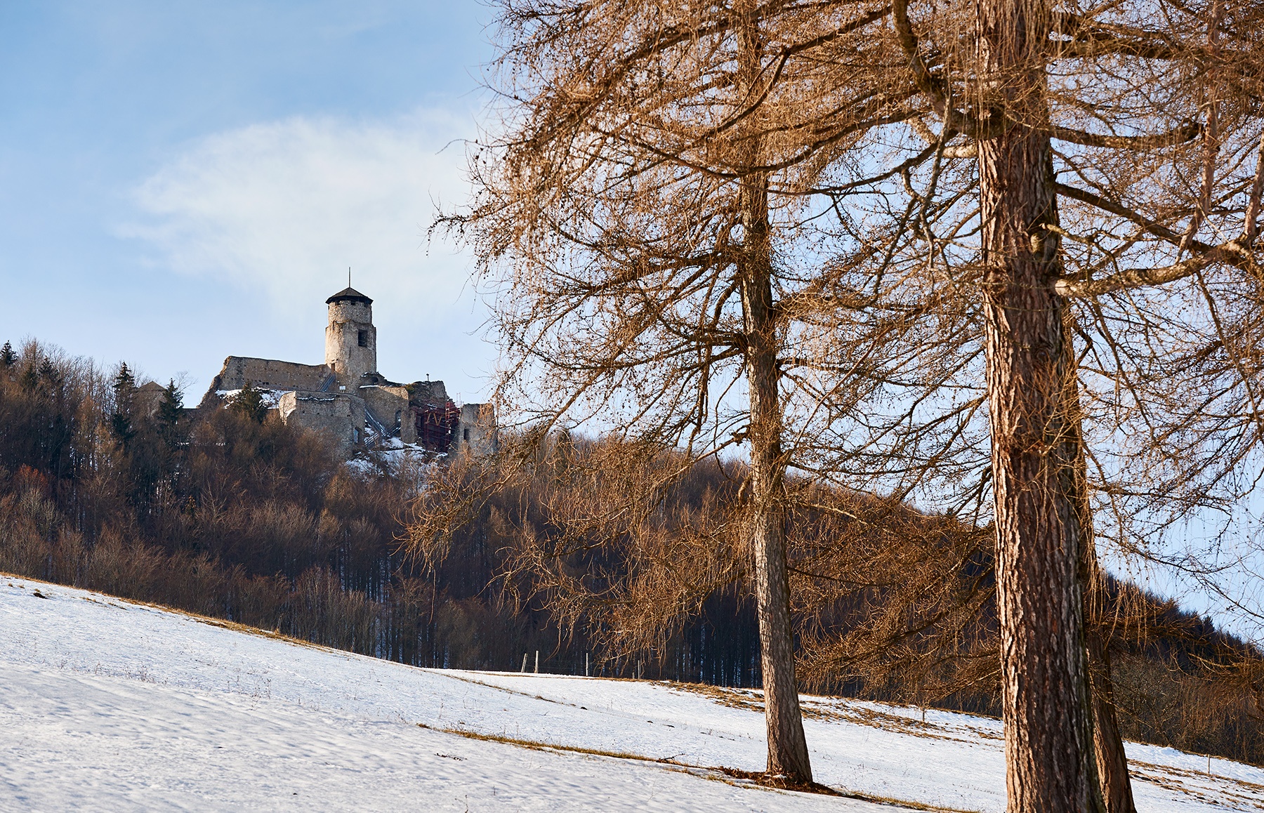
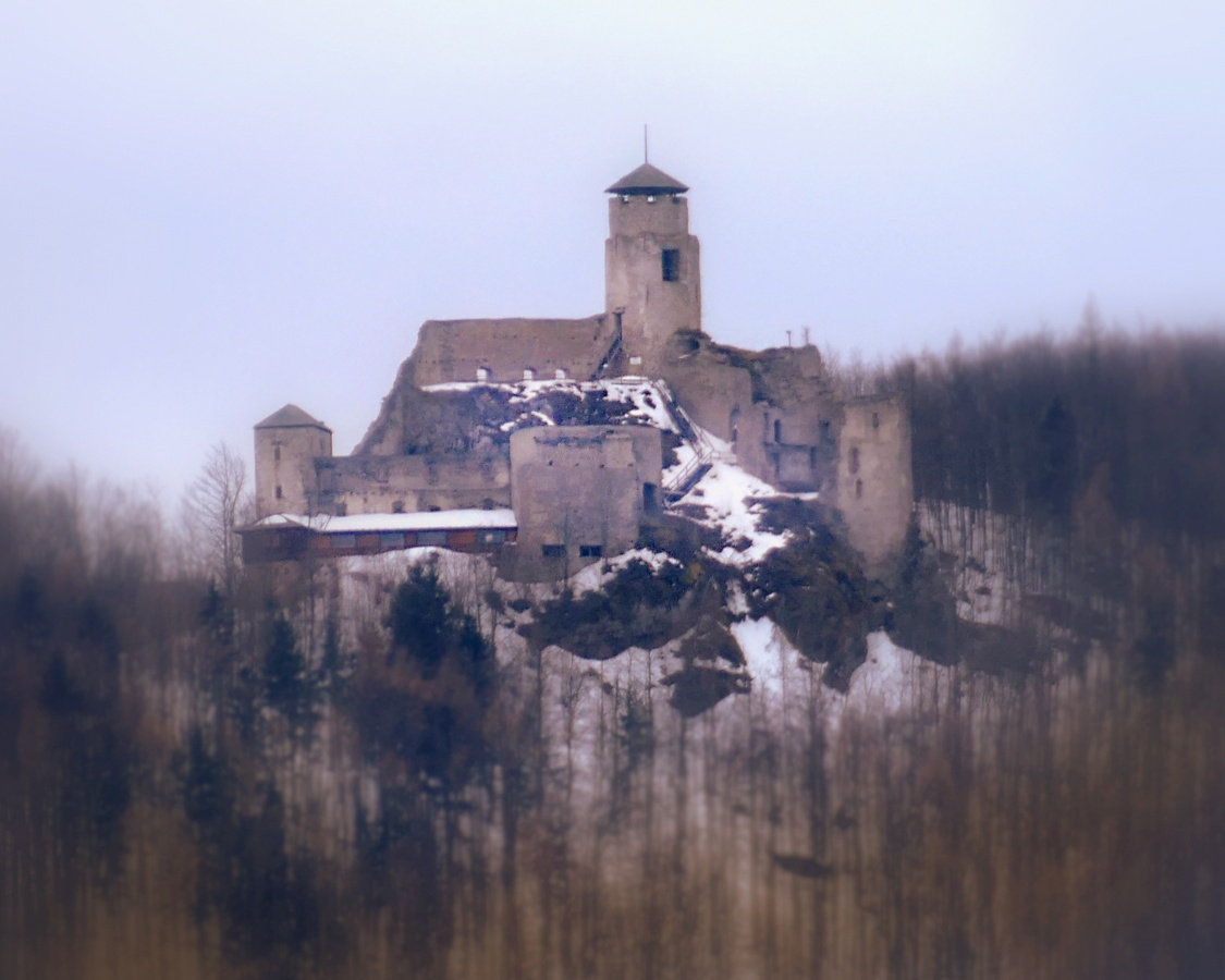
Araburg Castle is the highest castle ruin in Lower Austria. It was built in 1180 to protect against enemies and to secure the trade route over the Gerichtsberg and is closely linked to the history of Kaumberg. The former castle complex is still clearly visible today. From the former castle tower, you have a wonderful panoramic view of the surrounding area.
Despite the most thorough research, routes may be subject to unforeseen short-, medium-, or even long-term closures (e.g., due to restricted forest areas designated by landowners). Some of the parking options we recommend may be privately owned or subject to a fee—please pay attention to the on-site signage. Some trails may pass through sections or entirely through areas operated by entities that charge fees (e.g., nature parks or gorges). All information is provided without guarantee, and use of the trails is at your own risk. Please observe any trail closures as well as notices from hunters and landowners.
Sturdy shoes, rain jacket, water, backpack with essential personal items
Our route follows the Via Sacra and the Vienna Pilgrimage Trail, as well as Long-Distance Hiking Trail 06, and is accordingly marked in red, and in some places also in green. We start our hike at the market square in Kaumberg. Passing the war memorial with the barrel fountain (which supplied the residents with drinking water until the 1950s—a lovely place to rest), we turn right just before the local history museum and climb the steps up to the parish church. Passing the cemetery and heading through the mountain settlement, we leave the village limits after about 1 km, and a gently ascending meadow path leads us to the Mayerhof. Soon, the Araburg comes into view, offering a beautiful photo opportunity. We can also already see the parking lot for the Araburgstüberl, from which the ascent could be significantly shortened. From here, we enter the shady forest, where a trail leads us directly to Araburg, the highest castle in Lower Austria. It’s well worth visiting the 12th-century ruins, some of which are well-preserved. The view from the castle keep’s plateau is also breathtaking. Before heading back, we recommend stopping by the cozy Burgstüberl. About 400 m east of Araburg, we leave Long-Distance Hiking Trail 04 to the right and follow the red trail markers to the gate; from here, we also have a yellow trail marker to guide us. Back in the village, we hike past the Kollmannshof and the Brennhof. Above the settlement, a rest area by the wayside cross invites you to linger and enjoy the beautiful view toward Araburg and the Alpine foothills. We return to the starting point via the settlement on the sunny slope.
Please be careful in the forest, as the cold weather may cause some areas to be slippery.
Recommended period
J
F
M
A
M
J
J
A
S
O
N
D
Leider können wir Ihnen zum jetzigen Zeitpunkt keine Wetterdaten für den Ort anzeigen.
Wienerwald Tourismus GmbH
Hauptplatz 11, 3002 Purkersdorf
Tel.: 02231/62176
Email: office@wienerwald.info
Website: www.wienerwald.info
Letzte Änderung: 4 Aug 2026