
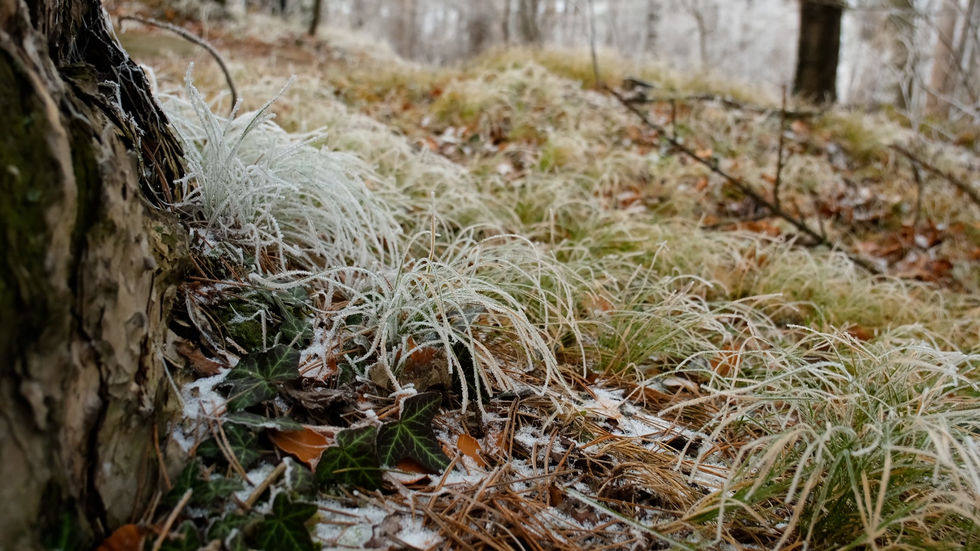
Winter Hike on the Hernstein Pecher Nature Trail
Winterwanderung am Pecherlehrpfad Hernstein
Tour Starting from Am Hart, parking lot next to the road
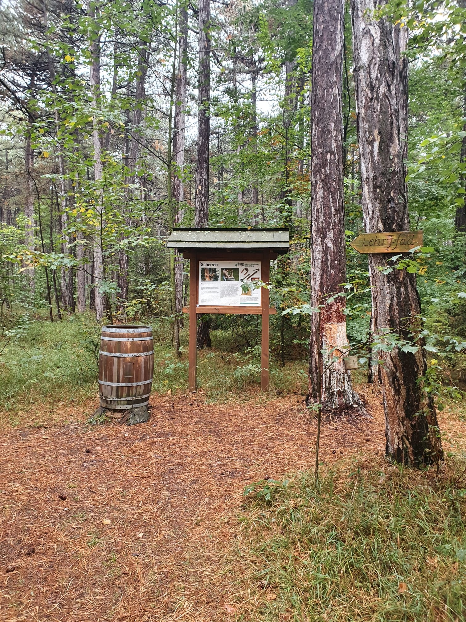
During this winter hike, the working methods and importance of the pitching profession are clearly explained on several display boards
- Starting point of the tour
- Am Hart, parking lot next to the road
- Tour destination
- Am Hart, parking lot next to the road
- Lowest point
- 507 m
- Highest point
- 519 m
During this winter hike, the working methods and importance of the pitching profession are clearly explained on several display boards
The Herstein pitching trail, which runs through the Schwarzföhrendwälder am Hart, offers impressive insights into the profession of pitcher with its display boards, stations, exhibits and "pitched trees". Traces of resin extraction (pitching) are still visible, especially in the extensive, resinous-smelling pine forests. The resin was once an important raw material for the production of rosin and turpentine. The Vinzenz Chapel, which is well worth a visit, and the Pechermuseum with its documentation of the profession of the pitcher are also reminders of this once important industry. The market town of Hernstein with its 7 districts is located in the middle of the largest black pine area in Central Europe, between the Triesting and Piesting valleys. The landscape is dominated by gentle mountain forms with heights of up to 600 m. Leisurely hikes predominate in the municipality. Only to the west of the municipality does the Hohe Mandling rise with beech forests at higher altitudes. However, since the fire at the Berndorfer huts at the summit (967 m), the Mandling has lost its importance for hikers.
Despite the most thorough research, routes may be subject to unforeseen short-, medium-, or even long-term closures (e.g., due to restricted forest areas designated by landowners). Some of the parking options we recommend may be privately owned or subject to a fee—please pay attention to the on-site signage. Some trails may pass through sections or entirely through areas operated by entities that charge fees (e.g., nature parks or gorges). All information is provided without guarantee, and use of the trails is at your own risk. Please observe any trail closures as well as notices from hunters and landowners.
Sturdy shoes, rain jacket, water, backpacks with personal essentials
From the parking lot, turn onto the paved road; after just a few meters, you’ll pass the first information sign, “Schrotthacken.” After a few more meters, you’ll reach St. Vincent’s Chapel, followed by the information sign “Fürhacken.” Shortly after the information sign, we leave the paved road and continue along the path into the forest. On a well-maintained forest trail, you’ll pass the “Hobeln” information sign. At a trail junction, continue following the “Lehrpfad” sign to the left, past the “Ausleeren” information board until you reach another trail junction. Here, you can take a detour to the right toward the “Pecherhütte” (a shelter in the forest), passing the “Scherren” information board along the way. After just 80 meters, you’ll reach the Pecherhütte. Return to the trail junction and turn right back onto the original trail. Passing the “Harzprodukte” sign, you’ll quickly reach the parking lot again. The walking time alone is about 20 minutes; if you take your time exploring the individual stations, it takes about 1 hour. To round out your experience, a visit to the Pechermuseum is also recommended.
Recommended period
J
F
M
A
M
J
J
A
S
O
N
D
Leider können wir Ihnen zum jetzigen Zeitpunkt keine Wetterdaten für den Ort anzeigen.
Wienerwald Tourismus GmbH
Hauptplatz 11, 3002 Purkersdorf
Tel.: 02231/62176
Email: office@wienerwald.info
Website: www.wienerwald.info
Letzte Änderung: 4 Aug 2026