Schoenstatt Trail

Mountain bike tour Starting from Forest Road on the Kahlenbergerdorf Route
This is an extremely difficult and long trail and is not recommended for beginners (or even intermediate riders)! It features a variety of sections, such as challenging steep sections and bumpy root sections. The lower section has been modified and extended to prevent erosion and address concerns.
This is an extremely difficult and long trail and is not recommended for beginners (or even intermediate riders)! It features a variety of sections, such as challenging steep sections and bumpy root sections. The lower section has been modified and extended to prevent erosion and address concerns.
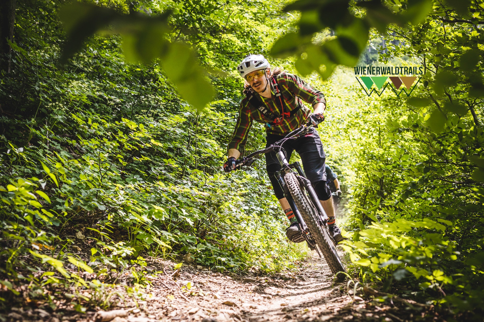
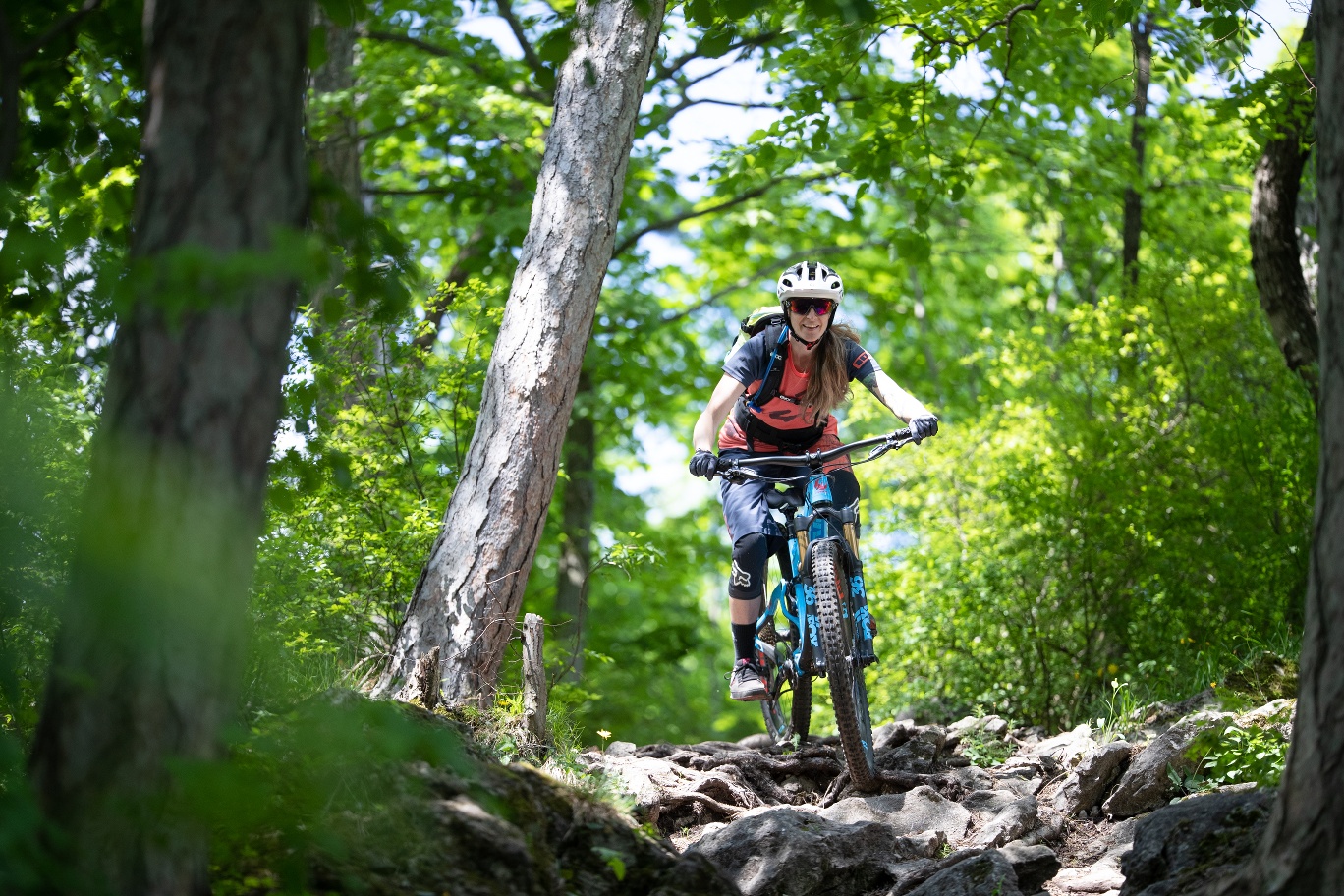
The Schoenstatt Trail is definitely difficult, but as the longest trail with many different sections, you will be rewarded for the challenge. It is not without reason that it is one of the favorite trails of local bikers. It starts alongside the Kahlenbergerdorf route and immediately descends steeply in a tunnel-like manner through very dense beech forest/bushes. Blocking tires are not conducive to braking traction here, nor do they protect the trail surface. Once this section has been overcome, the trail continues flat over some root passages and damp patches in the forest in a very flowing and varied manner. In the lower section, the trail has been adapted and lengthened to avoid erosion and address any discomfort. Shortly before you reach the hiking trail, you now turn left over undulating terrain on the newly created trail section. After crossing a few berms, the trail takes a challenging flowing descent to the Siedergraben. At the bottom, the trail continues through the stream crossing and a short counter-climb. Here too, a new section has been created on the left, parallel to the old one, in response to complaints from local residents and to improve the previously confusing trail.
This trail was created by Wienerwald Trails adapted and built.
Updated on: 28.02.2025
The first section becomes particularly challenging in wet conditions. Please be sure to avoid locking the rear wheels and the resulting erosion. Please adjust your speed!!
Before every ride, check that the brakes, tires, and suspension fork/shock are in good working order. Always ride with an eye out for hazards and at a controlled speed, and choose a route that suits the group’s riding ability and the terrain. The Fair Play rules must be observed at all times. Single/shared trails, as well as built trails in trail parks and trail centers, frequently feature rocks, roots, steep sections, steps, and sharp turns that require a certain level of riding skill. If in doubt, simply dismount and walk your bike.
A safe and roadworthy mountain bike is a prerequisite for all routes. A helmet and gloves provide protection in the event of a fall, and knee and elbow pads can be added when riding on single or shared trails. A modern mountain bike with disc brakes and sufficient tire tread is recommended. For single and shared trails rated red difficulty or higher, a full-suspension bike with modern geometry is recommended. Tools, a tire lever, a pump, and a spare tube will help in case of a flat tire. You should also carry enough food and drink, as well as a cell phone and a windbreaker or rain jacket.
Parking Information: Please follow local parking regulations and check for any parking fees or time restrictions. We recommend checking the parking situation in advance to ensure a stress-free arrival.
Travel Information: Please check the directions to the meeting point in advance and allow plenty of time. Be aware of possible traffic delays, road construction, or public transportation disruptions.
Leider können wir Ihnen zum jetzigen Zeitpunkt keine Wetterdaten für den Ort anzeigen.
The elevation data for this route was calculated based on A-MAP. Due to differences in the map data used by various routing and navigation apps and devices, slight variations in the figures are inevitable. For more information, see the following blog post!
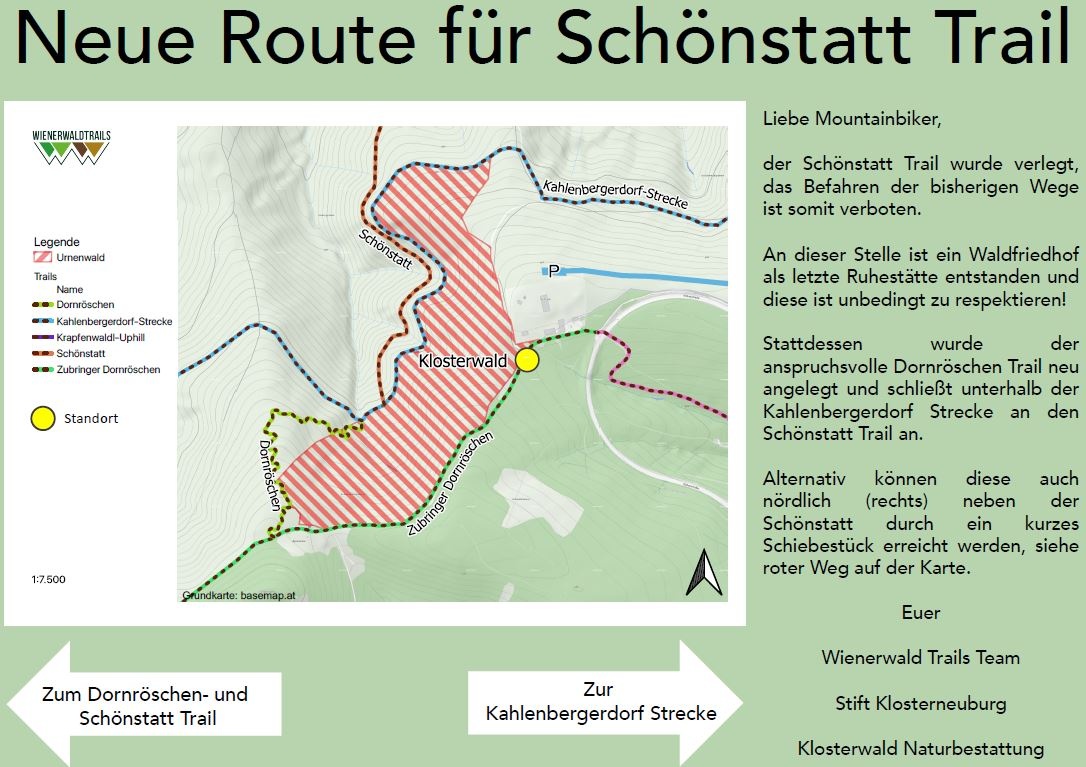
Note: New route for the Schönstatt Trail since 2021 due to the Urnenwald (see photo)
The Schönstatt Trail has been rerouted, and riding on the previous paths is therefore prohibited. A forest cemetery has been established at this location as a final resting place, and it must be respected at all times! Instead, the challenging Dornröschen Trail has been newly created and connects to the Schönstatt Trail below the Kahlenbergerdorf section. Alternatively, these trails can also be reached north (to the right) of the Schönstatt Trail via a short push section.
Wienerwald Tourism
Hauptpl. 11, 3002 Purkersdorf
Tel.: 02231/62176
Email: office@wienerwald.info
Website: www.wienerwald.info
Wienerwald Mountain Bike Trails
Mauerbachstraße 174–184, 1140 Vienna
Email: info@wienerwaldtrails.at
Website: https://www.wienerwaldtrails.at
Letzte Änderung: 6 Aug 2026