
Gaadener Uphill
Use our AI guide
Do you have any questions about your stay?

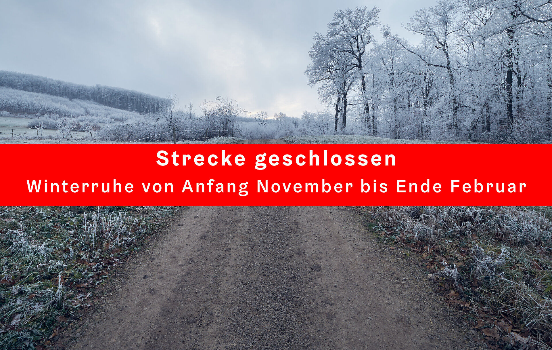
Closed
Mountain bike tour Starting from Gaaden Entry Point
A beautiful and easy uphill route from Gaaden to the Anningerhaus.
A beautiful and easy uphill route from Gaaden to the Anningerhaus.
The ongoing maintenance of this trail is supported by Bernhard Kohl Fahrrad & E-Bike.
The Gaadener Uphill Trail is located in the Ainninger Mountain Bike Area and leads us uphill from Gaaden to the well-known Anninger mountain hut. Due to the high volume of diverse users (hikers, runners, children, dogs, etc.), the trail is primarily rideable UPHILL. The individual segments that may also be ridden downhill are specifically marked (with yellow supplementary signs) and serve solely as connecting routes between the adjacent single-track trails.
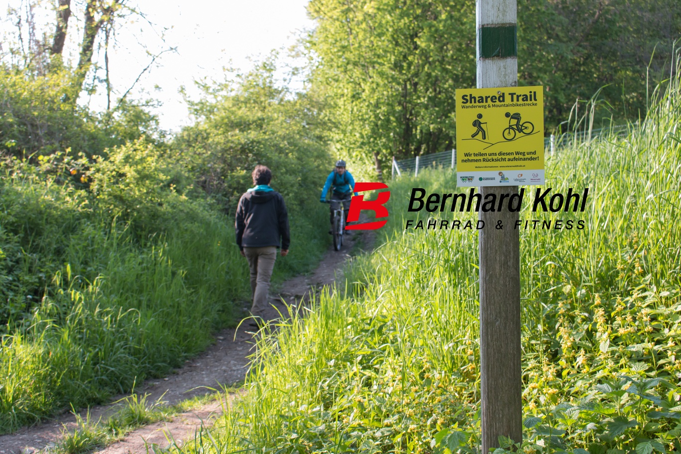
The Gaaden Uphill Trail is a shared trail! — “Since we cyclists respect other forest users, we are also allowed to use certain, specially marked hiking trails in the Vienna Woods.”
Before every ride, check that the brakes, tires, and suspension fork/shock are in good working order. Always ride with an eye out for hazards and at a controlled speed, and choose a route that suits the group’s riding ability and the terrain. The Fair Play rules must be observed at all times. Single/shared trails, as well as built trails in trail parks and trail centers, often feature rocks, roots, steep sections, steps, and sharp turns that require a certain level of riding skill. If in doubt, simply dismount and walk your bike.
A safe and roadworthy mountain bike is a prerequisite for all routes. A helmet and gloves provide protection in the event of a fall, and knee and elbow pads can be added when riding on single or shared trails. A modern mountain bike with disc brakes and sufficient tire tread is recommended. For single and shared trails rated red difficulty or higher, a full-suspension bike with modern geometry is recommended. Tools, a tire lever, a pump, and a spare tube will help in case of a flat tire. You should also carry enough food and drink, as well as a cell phone and a windbreaker or rain jacket.
The Gaadner Uphill is the main route from the starting point in Gaaden to the Anninger. It begins in Gaaden and leads to the Anninger mountain hut along a forest road that has a moderate grade throughout. All MTB routes toward Gumpoldskirchen branch off along the Gaadner Uphill.
Nearby places to eat:
Leider können wir Ihnen zum jetzigen Zeitpunkt keine Wetterdaten für den Ort anzeigen.
The elevation data for this route was calculated based on A-MAP. Due to differences in the map data used by routing and navigation apps and devices, slight variations in the figures are inevitable. You can find more information on this in the following blog post!
Wienerwald Tourismus GmbH
Hauptpl. 11, 3002 Purkersdorf
Tel.: 02231/62176
Email: office@wienerwald.info
Website: www.wienerwald.info
Letzte Änderung: 6 Nov 2026