Sauberg Trail

Mountain bike tour Starting from about halfway to the Hermannskogel
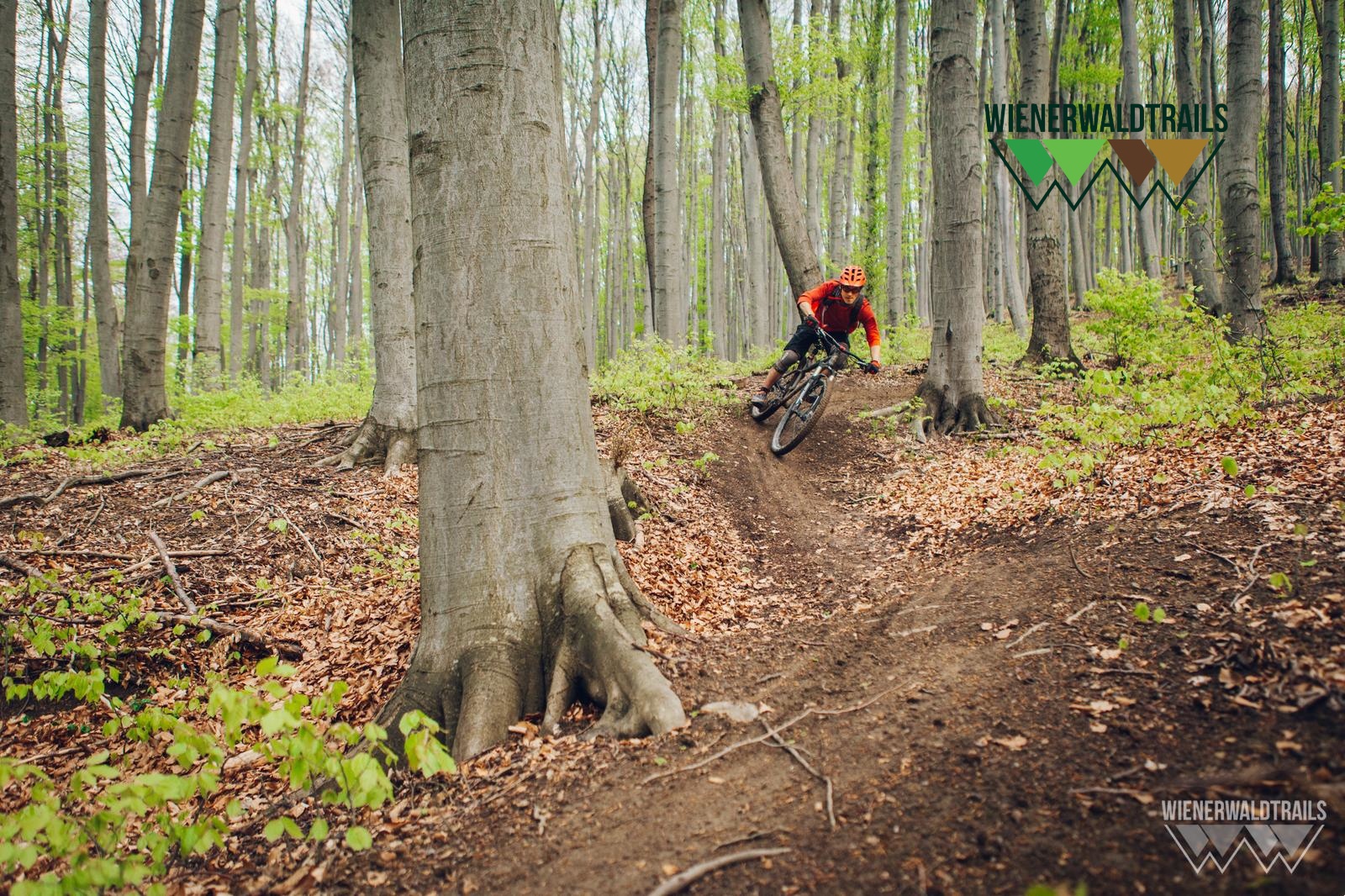
The Sauberg Trail is an absolute insider tip for all fans of long, varied trails. Over the course of a whole kilometer, you will not only find long and hanging bends, but also many challenging and tight changes of direction, natural bumps, roots and steep sections.
The Sauberg Trail is an absolute insider tip for all fans of long, varied trails. Over the course of a whole kilometer, you will not only find long and hanging bends, but also many challenging and tight changes of direction, natural bumps, roots and steep sections.
The Sauberg Trail can be reached via the Kahlenbergerdorf and Hameau routes or the lower Roan Trail. After the ascent from the Grüass Di a Gott Wirt, halfway to the Hermannskogel, you will find the start of the Sauberg Trail. Caution - do not confuse this with the Gustav Fischer Steig! The trail has been adapted to avoid passing too close to game feeding stations. In the middle of the long and challenging trail, you cross the Kahlenbergerdorf route (forest road). From there, you can continue your tour either in the direction of Grüass Di a Gott Wirt or in the direction of Südtiroler (uphill) or Leopoldsberg. The lower section of the trail has been completely redesigned to avoid potential conflicts with hunting interests and as a sign of mutual respect between all forest visitors. If you ride the lower section of the trail, you can reach the Weidlingbach trail park on the left after the barrier on Weidlinger Hauptstraße (L116) or turn right via the new stream trail to the end of the Südtiroler Trail or to Klosterneuburg.
This trail was developed by Wienerwald Trails adapted and built.
Updated on: 28.02.2022
Through close cooperation with the landowner, the trail route was modified to benefit all parties involved, and the old trail was relocated. The trail crosses a forest road—please watch out for oncoming traffic! Please adjust your speed!!
Before every ride, check that your brakes, tires, and suspension fork/shock are in good working order. Always ride with an eye out for hazards and at a controlled speed, and choose a route that suits the group’s riding ability and the terrain. The Fair Play rules must be observed at all times. Single/shared trails, as well as built trails in trail parks and trail centers, often feature rocks, roots, steep sections, steps, and sharp turns that require a certain level of riding skill. If in doubt, simply dismount and walk your bike.
A safe and roadworthy mountain bike is a prerequisite for all routes. A helmet and gloves provide protection in the event of a fall, and knee and elbow pads can be added when riding on single or shared trails. A modern mountain bike with disc brakes and sufficient tire tread is recommended. For single and shared trails rated red or higher, a full-suspension bike with modern geometry is recommended. Tools, a tire lever, a pump, and a spare tube will come in handy in case of a flat tire. You should also bring plenty of food and drink, as well as a cell phone and a windbreaker or rain jacket.
Parking Information: Please follow local parking regulations and check for any parking fees or time restrictions. We recommend checking the parking situation in advance to ensure a stress-free arrival.
Travel Information: Please check the directions to the meeting point in advance and allow plenty of time. Be aware of possible traffic delays, road construction, or public transportation disruptions.
Leider können wir Ihnen zum jetzigen Zeitpunkt keine Wetterdaten für den Ort anzeigen.
The elevation data for this route was calculated based on A-MAP. Due to differences in the map data used by various routing and navigation apps and devices, slight variations in the figures are inevitable. You can find more information on this in the following blog post!
Wienerwald Tourism
Hauptpl. 11, 3002 Purkersdorf
Tel.: 02231/62176
Email: office@wienerwald.info
Website: www.wienerwald.info
Wienerwald Mountain Bike Trails
Mauerbachstraße 174–184, 1140 Vienna
Email: info@wienerwaldtrails.at,
Website: https://www.wienerwaldtrails.at
Letzte Änderung: 6 Aug 2026