Hiking tour Starting from Berndorf Train Station
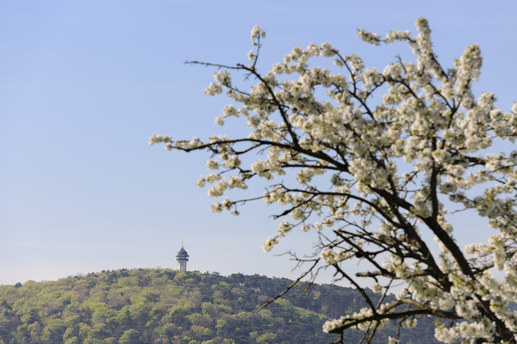
The main town in the Triestingtal valley, the municipality of Berndorf, is nestled in the hills of the Triestingtal valley, surrounded by black pine forests. The town is known nationwide for its historical development, which is closely linked to the Krupp family. Traces of this period can be seen everywhere in the town. For example, the workers' housing estates, villas, schools and factory buildings bear witness to this period. A museum in Bahnstraße is therefore also dedicated to this era. The style classes of the schools in Berndorf, which are built in twelve different architectural styles, are among the world's most unique art venues of their kind. The Berndorf municipal theater and the Margarethenkirche church also contribute to the town's rich cultural offering. For hikers, there are many varied hiking options starting from the town, ranging from short, educational hikes (forest nature trail) to long, extended hikes (Waxeneck). However, a special highlight of any visit to Berndorf is always the ascent of the viewing tower on the Guglzipf with its panoramic views.
The main town in the Triestingtal valley, the municipality of Berndorf, is nestled in the hills of the Triestingtal valley, surrounded by black pine forests. The town is known nationwide for its historical development, which is closely linked to the Krupp family. Traces of this period can be seen everywhere in the town. For example, the workers' housing estates, villas, schools and factory buildings bear witness to this period. A museum in Bahnstraße is therefore also dedicated to this era. The style classes of the schools in Berndorf, which are built in twelve different architectural styles, are among the world's most unique art venues of their kind. The Berndorf municipal theater and the Margarethenkirche church also contribute to the town's rich cultural offering. For hikers, there are many varied hiking options starting from the town, ranging from short, educational hikes (forest nature trail) to long, extended hikes (Waxeneck). However, a special highlight of any visit to Berndorf is always the ascent of the viewing tower on the Guglzipf with its panoramic views.
On this hiking tour, the Guglzipf is first climbed via the "Mühlsteig" (forest nature trail). After this steep ascent, hikers can look forward to the forest hut on the Guglzipf and the viewing tower, which offers a 360° panorama across the treetops of the pine forest. The route then takes a leisurely, mostly gentle descent towards Aichkreuz and continues along the Enzesfeld golf course into the Aichgraben. Here you hike leisurely out of the valley to St. Veit railroad station. The way back to Berndorf uses the Triestingtal cycle path no. 42.
After returning to Berndorf, we recommend a visit to the Krupp Museum in Bahnhofstraße
Standard Hiking Gear
From the starting point on Bahnhofstraße, follow the street eastward toward the rock with the Krupp monument, which is already visible. Here, take the Triestingtal Bike Trail No. 42, which runs right past the rock, and follow the red markings; shortly afterward, you’ll come across the “Mühlsteig” sign for the forest nature trail. Here, on the forest nature trail, you’ll first climb steeply up to the Krupp Monument (erected in 1910 in memory of Hermann Krupp) and then follow the trail uphill through a sparse black pine forest along three switchbacks. Along the way, you’ll pass sign No. 6, “The Forest”; sign No. 5, “Natural Habitat and Indicators”; and sign No. 4, “Forestry.” Next comes a longer traverse across the slope, ascending gently through deciduous forest until you reach a trail junction. Here, turn sharply right and follow the red-green-yellow trail markers uphill on a wide path, passing sign No. 3 “Predatory Animals,” No. 2 “Nesting Boxes and Bird Species,” and No. 1 “Bird Conservation.” You’ll soon reach the Guglzipf Forest Cabin (elevation = 472 m; forest cabin, viewing terrace, observation tower, forest bowling alley, children’s playground) and the observation tower (also accessible by car).
After stopping for a break at the forest hut and enjoying the panoramic view, begin the return trip south of the hut, passing the observation tower on the right, where you follow the access road downhill for a few meters until a path leads left into the forest. Walking on flat ground along the large playground, you’ll reach Information Board No. 14, “Bird Life,” over a small hilltop and steeply downhill, past sign No. 13, “Forest Protection, Damage, Insects, Forest Dwellers,” and sign No. 12, “Mushrooms.” Once you reach sign No. 11 “Clearing,” “Plants and Nature Conservation,” and the “Log Cabin,” turn right to follow the green trail markers on level ground to a forest road.
Follow this road for about 200 m until a hiking trail begins on the left that leads downhill (green, yellow). At a rest area, the trail levels out; here, follow the green markings to the right, cross a forest road, and continue about 700 m along the hiking trail (green) to a fork in the trail. The green trail leads left downhill toward St. Veit, but keep to the right, now following the red markings, and after another 150 m you’ll reach the Aichkreuz and, immediately afterward, a hunting lodge. On a wide trail (red), which is flat and slopes slightly downward, you’ll reach a trail junction in the forest after another 600 m, where blue and yellow markings join from the right. Here, follow the signpost “red then blue, St. Veit, Hirtenberg turnoff.” Follow the trail (yellow, red, blue) along the flat terrain next to the golf course until you come to a rocky, eroded path. This path will soon take you to the rocky landscape of the Eichgraben. Immediately after the large rock, turn left (down the valley, blue trail marker), and you’ll reach the Dreibrüderbaum (240 m from the junction) via a trail that’s rough at first. Here, the trail improves, and you hike another kilometer, mostly alongside a frequently dry stream bed, through the ravine on level ground heading out of the valley. At a gate, you’ll reach a road and, shortly afterward, the St. Veit train station. After crossing the tracks and walking a short distance downhill along the Bahngasse, you’ll come upon the Triesting Valley Bike Trail No. 42 just before the Triesting Bridge. Here, turn left onto the so-called Neufeldweg (a road running alongside a residential area) and follow the paved and signposted Bike Path No. 42 for about 3.4 km back to Berndorf. Along the way, you’ll pass the Berndorf Fabrik train station, and after a short climb, you’ll have a good view of the Berndorf Fabrik complex, which lies in a valley basin. After riding along the slope, the path descends steeply for a short stretch and then continues on flat ground back to the starting point.
Parking Spaces on Bahnhofstraße
Parking Note: Please follow local parking regulations and check for any parking fees or time restrictions. We recommend checking the parking situation in advance to ensure a stress-free arrival.
A2 Südautobahn, take the Leobersdorf exit; follow the Hainfelder Bundesstraße B 18 to Berndorf; turn right onto Hernsteinerstraße toward Hernstein; immediately after the railroad tracks, turn left onto Bahnhofstraße
Public transportation: to the Berndorf train station
Travel Advice: Please check the route to the meeting point in advance and allow plenty of time. Be aware of possible traffic delays, road construction, or public transportation disruptions.
Leider können wir Ihnen zum jetzigen Zeitpunkt keine Wetterdaten für den Ort anzeigen.
Vienna Woods Tourism
3002 Purkersdorf, Hauptplatz 11
Tel. 02231/621 76
Fax 02231/655 10
Leader Region Triestingtal
2560 Berndorf, Leobersdorfer Straße 42
Phone/Fax 02672-87001
office@triestingtal.at
Municipality of Berndorf
2560 Berndorf, Kislingerplatz 2-4
Phone: 02672-82253
www.berndorf.gv.at
Letzte Änderung: 6 Aug 2026