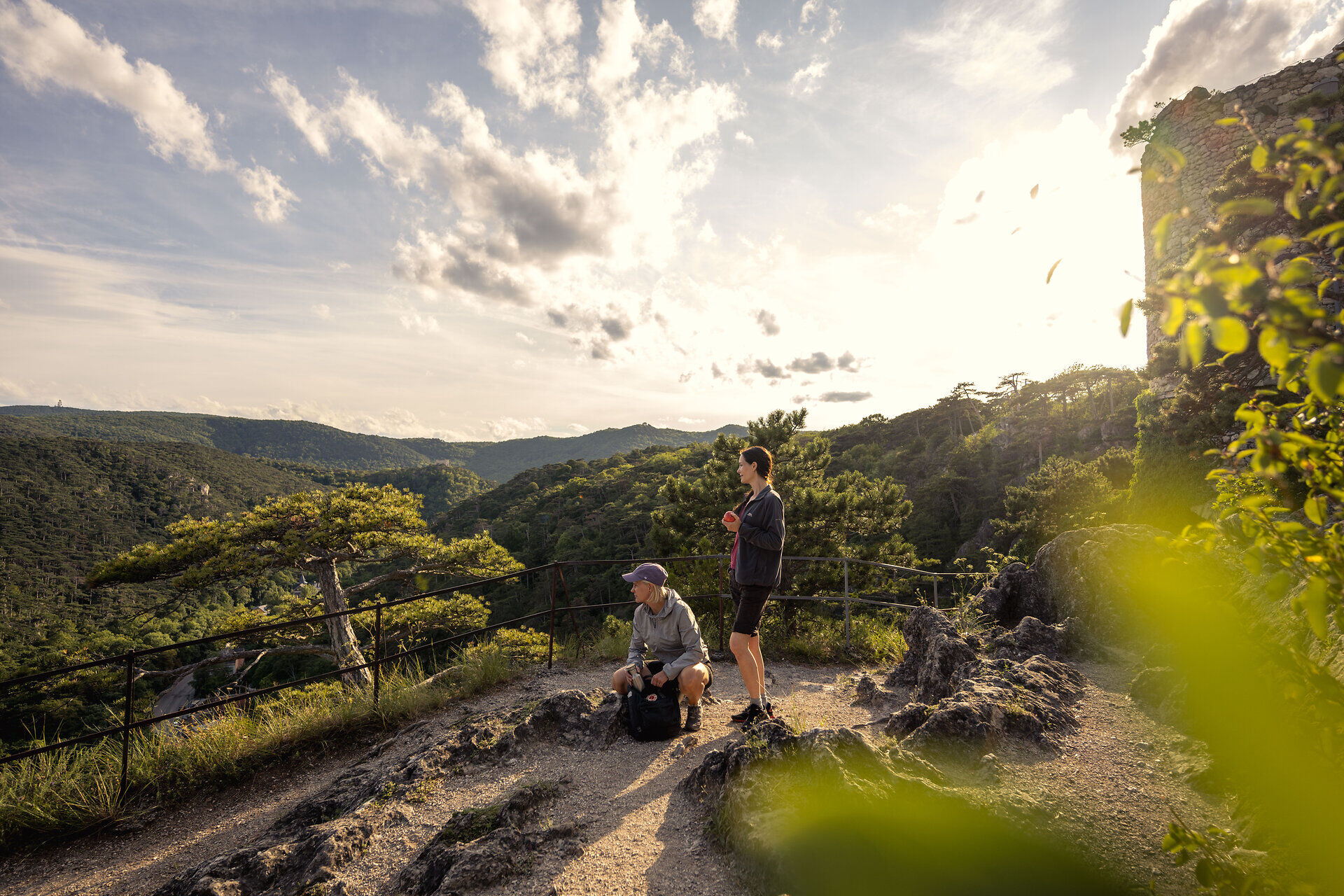
"A hiking trail for the senses" - the motto of this hike. Carried by panoramic views and quiet reflection signs - a contradiction full of harmony.

Hiking tour Starting from Totzenbach Castle
"A hiking trail for the senses" - the motto of this hike. Carried by panoramic views and quiet reflection signs - a contradiction full of harmony.
"A hiking trail for the senses" - the motto of this hike. Carried by panoramic views and quiet reflection signs - a contradiction full of harmony.
Despite the most thorough research, routes may be subject to unforeseen short-, medium-, or even long-term closures (e.g., due to restricted forest areas designated by landowners). Some of the parking options we recommend may be privately owned or subject to a fee—please pay attention to the on-site signage. Some trails may pass through sections or entirely through areas operated by entities that charge fees (e.g., nature parks or gorges). However, this is usually explicitly noted in the description. All information is provided without guarantee, and use of the trails is at your own risk. Please observe any trail closures as well as notices from hunters and landowners. To promote sustainability, most tours start and end at public transit stations (bus/train). Use the VOR AnachB tool to find the best possible connections.
Having the right basic gear is essential for a safe and enjoyable hike. This includes sturdy, high-quality hiking boots, weather-appropriate clothing, and a lightweight backpack. Essential items include plenty of drinking water, a small snack, sun protection (a hat and sunscreen), rain gear, and a first-aid kit. Depending on the length of the hike and the terrain, hiking poles, maps, or a charged cell phone with emergency numbers may also be useful. Your gear should always be tailored to the weather, season, and difficulty level of the route.
We start at Schlossplatz Totzenbach and walk—past the Gnasmüller Inn—to the left onto Steingrabenweg/Steig. Soon we come to the first rest area with a beautiful viewing platform (to be completed in June 2026) and a mountain panorama stretching all the way to the Ötscher. After that, we first turn right, then left after another 200 meters (round, yellow ground marker). Passing a farm, we now turn right onto the themed trail with signs about our life’s journey. At the end of the trail, we cross a bridge to the left and, shortly afterward, cross the state highway. We keep to the left and reach the “Zum Bahnweg” sidewalk, where we turn right. A “Bruckfeld” sign directs us right again, and in front of the municipal yard, we turn left until we reach a bridge in the industrial area. We cross it, turn right, and 1.1 km before another bridge, turn right again toward Schlossplatz. We follow another directional sign and come to a retention basin, which we cross to the right, then pass the church and return to the starting point.
Parking is available in Totzenbach
To promote sustainability, most tours start and end at public transit stops (bus/train). Use the VOR AnachB tool to find the best possible connections.
Take the bus to the "Totzenbach Schloss" stop
Leider können wir Ihnen zum jetzigen Zeitpunkt keine Wetterdaten für den Ort anzeigen.
Person responsible for the content of this tour
Wienerwald Tourismus GmbH
Hautplatz 11, 3002 Purkersdorf
Phone: 02231/62176
Email: office@wienerwald.info
Website: www.wienerwald.info
Letzte Änderung: 4 Aug 2026
