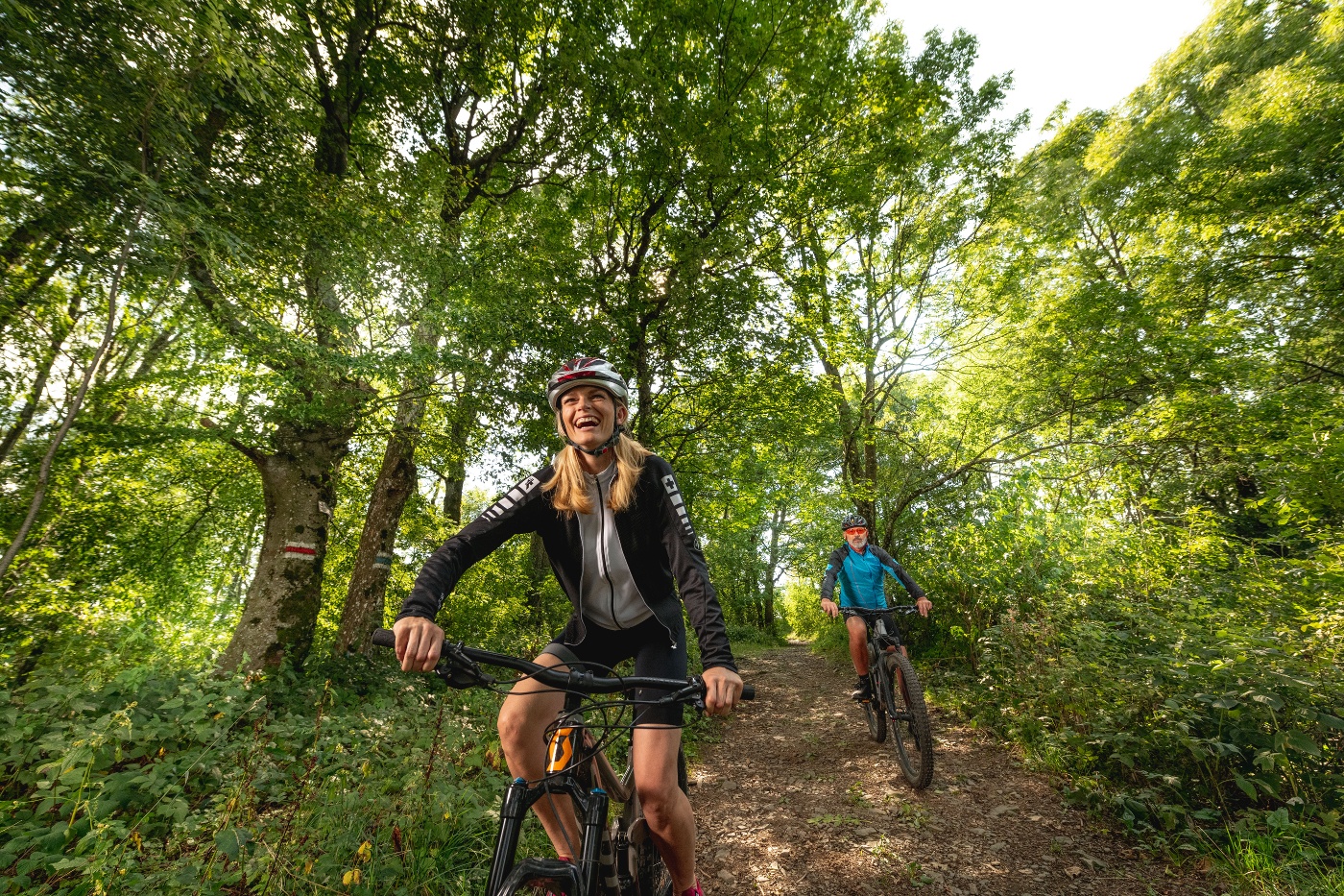
Mountain bike tour Starting from St. Andrä on Franz Schubert Gasse
A wonderful and not too strenuous round tour for in between!
A wonderful and not too strenuous round tour for in between!
Slightly different route to Hadersfeld, now bypassing a landfill site.
The St. Andrä route is a family-friendly circular mountain bike tour in the Vienna Woods. The tour leads through varied landscapes and offers impressive views of the region. A particular highlight is the Tempelbergwarte, a 14.3-metre-high observation tower on the 403-metre-high Tempelberg, which offers a sweeping view over the Tullnerfeld and the Vienna Woods region. The route also runs through the Eichenhain Nature Park, which is known for its oak and beech forests and idyllic meadows.
Before every ride, check that the brakes, tires, and suspension fork/shock are in good working order. Always ride with an eye out for hazards and at a controlled speed, and choose a route that suits the group’s riding ability and the terrain. The Fair Play rules must be observed at all times. Single/shared trails, as well as built trails in trail parks and trail centers, often feature rocks, roots, steep sections, steps, and sharp turns that require a certain level of riding skill. If in doubt, simply dismount and walk your bike.
A safe and roadworthy mountain bike is a prerequisite for all routes. A helmet and gloves provide protection in the event of a fall, and knee and elbow pads can be added when riding on single or shared trails. A modern mountain bike with disc brakes and sufficient tire tread is recommended. For single and shared trails rated red difficulty or higher, a full-suspension bike with modern geometry is recommended. Tools, a tire lever, a pump, and a spare inner tube will come in handy in case of a flat tire. You should also bring plenty of food and drink, as well as a cell phone and a windbreaker or rain jacket.
From the St. Andrä-Wördern Church, we continue 1.2 km along Wiener Straße until we turn right toward Hintersdorf. From there, we turn left onto Plöckingstraße and continue to Maria Gugging. Then ride through the campus of the Institute for Science and Technology and follow the Marbach River to the left until you turn right at km 8.5. Without passing directly by the Redlinger Hütte, continue on the main road to Hadersfeld and then back into the forest via Schloßgasse. The route back to Wördern is mostly downhill.
Surface: Asphalt 66%, gravel 24%, forest/meadow 10%
Parking Information: Please follow local parking regulations and check for any parking fees or time restrictions. We recommend checking the parking situation in advance to ensure a stress-free arrival.
Take the B14 to St. Andrä vor dem Hagenthale; at the roundabout, take the third exit onto Königstetter Str., then turn left onto Kirchenplatz.
Coming from the west, take the A1 to the Sankt Christophen exit, then the B19 to St. Andrä vor dem Hagenthale; turn right at Kirchenplatz.
Travel Advice: Please check the route to the meeting point in advance and allow plenty of time. Be aware of possible traffic delays, road construction, or public transportation disruptions.
Information on potential excursion destinations:
Places to stop for refreshments:
Leider können wir Ihnen zum jetzigen Zeitpunkt keine Wetterdaten für den Ort anzeigen.
The elevation data for this route was calculated based on A-MAP. Due to differences in the map data used by various routing and navigation apps and devices, slight variations in the figures are inevitable. For more information, see the following blog post!
Wienerwald Tourismus GmbH
Hauptpl. 11, 3002 Purkersdorf
Tel. +43/2231/621 76
Email: office@wienerwald.info
Website: www.wienerwald.info
Letzte Änderung: 6 Aug 2026