A lap around the Mauereck
A lap around the Mauereck
The market town of Mauerbach lies in the heart of the Vienna Woods and offers indescribable views of nature thanks to its location in the biosphere park. The surroundings of Mauerbach form an undulating and hilly terrain, which reaches its highest point at the Tulbinger Kogel (490 m). The Mauerbach Charterhouse, which is a place of tranquillity, creates a great symbiosis of exercise, culture and relaxation.
©"Tut gut!"
The map of this hiking trail can be downloaded here.
sturdy shoes, rain jacket, something to drink
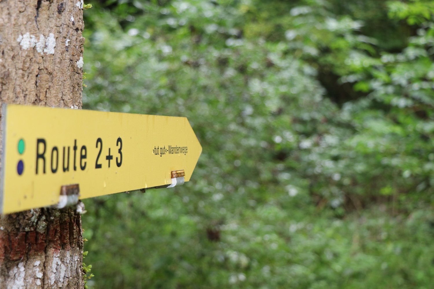
Partially graveled forest roads and trails with moderate inclines: Lower Cemetery Parking Lot – Hiking Trail 21 – Hiking Trail 22 – Hiking Trail 3A – Hiking Trail 3 – Hiking Trail 21 – Hungerturm – Kartause – Lower Cemetery Parking Lot
Round out your tour with a visit to the Mauerbach Charterhouse, or enjoy the culinary offerings at the Kartausencafé, Klosterwirt, or Schlosspark Mauerbach.
Leider können wir Ihnen zum jetzigen Zeitpunkt keine Wetterdaten für den Ort anzeigen.
“Feels Good!” Health Care GmbH
Purkersdorfer Straße 8/1/5, 3100 St. Pölten
Wienerwald Tourismus GmbH
Hauptplatz 11, 3002 Purkersdorf
Tel.: 02231/ 62176
Letzte Änderung: 4 Aug 2026