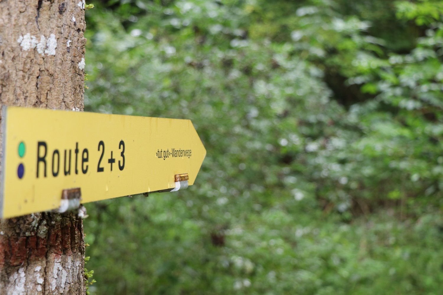
A relaxed round in the natural surroundings of Wolfsgraben
A relaxed round in the natural surroundings of Wolfsgraben
Located to the west of Vienna, a tranquil place with a village character in the Vienna Woods Biosphere Reserve. It offers extensive walking and hiking opportunities that also allow you to experience our natural diversity. At the beginning of Friedhofstraße, a Way of the Cross leads from the church to the cemetery, which is harmoniously embedded in nature. Shortly afterwards there is a yellow-bellied toad habitat as a local specialty. The paths through the Vienna Woods and along typical Vienna Woods meadows invite you to relax, recharge your batteries and observe.
©"Tut gut!"
The map of this hiking trail can be downloaded here.
sturdy shoes, rain jacket, something to drink
From the church along Friedhofstraße to the Florianimarterl—then on via Kalmriegel to the Franzosenkreuz—and from there along Hauptstraße back to the starting point at the church
To wrap up the tour, the Dreimäderlhaus in Wolfsgraben offers a delicious treat
Leider können wir Ihnen zum jetzigen Zeitpunkt keine Wetterdaten für den Ort anzeigen.
“Feels Good!” Health Care GmbH
Purkersdorfer Straße 8/1/5, 3100 St. Pölten
Wienerwald Tourismus GmbH
Hauptplatz 11, 3002 Purkersdorf
Tel.: 02231/ 62176
Letzte Änderung: 4 Aug 2026