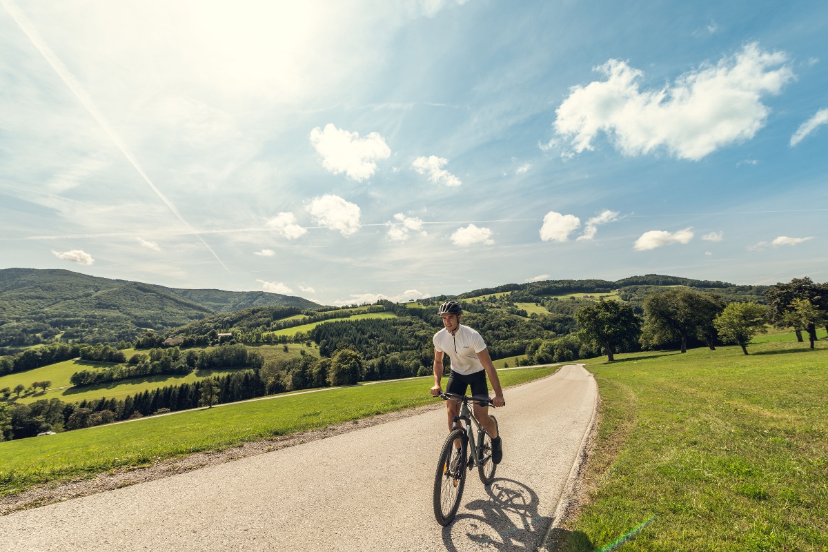
Mountain bike tour Starting from Perchtoldsdorf
Serves as a connecting route to the other tours
Serves as a connecting route to the other tours
This feeder road leads from the center of Perchtoldsdorf to the Parapluie route and can be used in both directions.
Before every ride, check that the brakes, tires, and suspension fork/shock are in good working order. Always ride with an eye out for hazards and at a controlled speed, and choose a route that suits the group’s riding ability and the terrain. The Fair Play rules must be observed at all times. Single/shared trails, as well as built trails in trail parks and trail centers, often feature rocks, roots, steep sections, steps, and sharp turns that require a certain level of riding skill. If in doubt, simply dismount and walk your bike.
A safe and roadworthy mountain bike is a prerequisite for all routes. A helmet and gloves provide protection in the event of a fall, and knee and elbow pads can be added when riding on single or shared trails. A modern mountain bike with disc brakes and sufficient tire tread is recommended. For single and shared trails rated red or higher, a full-suspension bike with modern geometry is recommended. Tools, a tire lever, a pump, and a spare tube will come in handy in case of a flat tire. You should also bring plenty of food and drink, as well as a cell phone and a windbreaker or rain jacket.
Leider können wir Ihnen zum jetzigen Zeitpunkt keine Wetterdaten für den Ort anzeigen.
Wienerwald Tourismus GmbH
Hauptplatz 11, 3002 Purkersdorf
Tel.: 02231/62176
Email: office@wienerwald.info
Website: www.wienerwald.info
Letzte Änderung: 3 Aug 2026